Field notes: the pit that greened up on paper and stayed bare on the ground
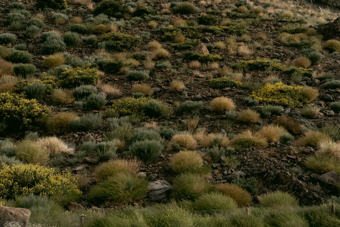
Every reviewer who's spent a few seasons on closure files has a version of this one. The annual report comes in on schedule. The photo points show green. The narrative says cover is tracking ahead of the milestone schedule, seeding was successful, the slope is "responding well." You sign off on the paperwork, or you don't, and either way you file it next to last year's, which said almost the same thing.
Then you're on-site for an unrelated reason, maybe a different permit nearby, and you walk the reclaimed slope on your way somewhere else. It's October. The photo points are green, sure, standing right where the camera stood. Everywhere else is cheatgrass and bare dozer track, with the native mix barely holding on in the swales where water pools long enough to matter.
This isn't a story about anyone lying. Photo points are a real monitoring tool, and most operators use them in good faith. The problem is structural, not personal. A photo point captures one frame, chosen once, usually in the spot that took best.
A walking transect covers more ground, but it's expensive to run every year on every parcel. So it gets scheduled for the years closest to a milestone deadline, which is exactly when everyone involved has the most incentive to find what they're hoping to find. None of that requires bad intent. The record you're approving was built to show progress, which is a different job from catching its absence.
The mismatch is a timing problem more than a reporting problem. A site that goes three years between ground visits and then reports a clean jump from 15% cover to the 40% milestone threshold right before a bond reduction request lands on your desk is not necessarily wrong. But it's the kind of file that deserves a second look before the surety signs off on releasing capital, and most offices don't have the staff to walk every parcel every year to get that second look.
A remote vegetation read works as a check against the operator's report, independent of which week someone chose to take the photo. An annual pass over the parcel, same month each year, same index, same boundary, builds a record that exists whether or not anyone scheduled a field visit that season. If the operator's cover numbers and the index curve move together, that's useful information too. It means the self-reported progress has outside support, and you can move the file along with more confidence than a photo point alone would give you.
Where it gets interesting is the years in between milestones, the ones nobody budgets a site visit for. That's where a bare slope has the most time to sit unnoticed, because the report due that year is thin by design and nobody's walking it. An index read doesn't care whether it's a milestone year. It runs anyway, and if the curve flattens or dips in year three while the narrative report keeps saying "on track," you've got a question worth asking before year five, not after the bond's already been reduced.
None of this requires replacing judgment with a number. A dip in the index can mean drought, a bad seed year, fire, things that aren't the operator's fault and don't belong held against them. What it should mean is that the file gets a conversation instead of a rubber stamp. A per-parcel vegetation record that runs independent of the operator's own reporting cycle is the kind of thing that turns "looks green in the photo" into something you can defend in front of a surety committee, or a landowner, or your own file review two years later.
If your office is still deciding bond releases off narrative reports and photo points alone, it might be worth seeing what an annual index read on your closure parcels would show.