How to cross-check operator revegetation reports against satellite imagery
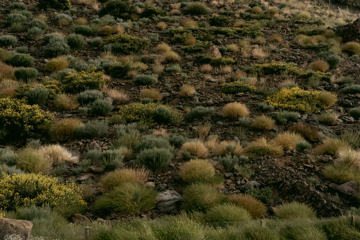
When a reclamation bond is sitting against a closed pit or a tailings cover, the annual progress report from the operator is usually the only paper you get. It says cover crop established on 340 acres, or revegetation density meets Phase 3 criteria across the north cells. Your job is to decide whether to believe it enough to release money, extend the hold, or ask for a field inspection. Here's a method for doing that cross-check before you sign off.
Start with what the self-report actually claims
Pull the specific milestone language from the closure plan, not the summary paragraph in the operator's cover letter. Closure plans usually tie bond release to a measurable condition: percent cover by a given date, species composition matching the reference ecosite, or density thresholds sustained for two consecutive growing seasons. Write down the parcel boundaries and the date the operator says the milestone was met. That date matters, because vegetation reads differently in April than in August, and a report that doesn't specify a survey window is already a flag.
Then separate what's measured from what's described. "Visual inspection confirmed healthy regrowth" is not the same claim as "NDVI sampling showed cover above threshold." Sureties get burned less by operators who misrepresent and more by operators who report in good faith off a walkthrough that happened to hit the greenest corner of the site.
Put an independent vegetation read against the same parcels
Once you know the parcel and the claimed date, the check is straightforward: does an independent vegetation signal, pulled from imagery and not from the operator's consultant, agree with the claim for that footprint?
This doesn't require a site visit to settle. Wide-swath multispectral satellite imagery read on an annual cadence gives a vegetation index per parcel that you can line up against the same closure-plan milestones the operator is reporting to. If the operator says 340 acres crossed the density threshold this season, you want a vegetation record for those 340 acres, not for the lease boundary as a whole or for an adjacent cell that happens to be greener. Revegetation Monitor builds a per-parcel vegetation-index record for exactly this purpose: a track against closure-plan milestones that doesn't depend on the operator's own field notes.
A couple of things to watch when you're reading the imagery record against the report. First, look at the trend, not just the latest reading. A parcel that jumped from bare ground to apparent full cover in one annual pass, with no intermediate years showing partial establishment, is worth a second look, revegetation on disturbed mine soils is usually gradual. Second, check whether the vegetation signal is consistent across the whole reported footprint or concentrated in a sub-area, which can happen when reclamation work was done in phases but reported as complete for the whole parcel.
When the two don't match
Disagreement between the self-report and the independent read isn't automatically evidence of a bad-faith filing. Ground cover can register differently depending on moisture at the time of the satellite pass, and at a 10 to 30 meter resolution, scattered sparse vegetation can read differently than a dense, uniform stand even at similar percent cover. The imagery record is a screening tool that tells you where to send an inspector, not a replacement for one.
What it does give you is something a paper report can't: a parcel-by-parcel history going back to the start of your monitoring, independent of whoever wrote this year's cover letter. If an operator's self-reported progress has been consistently ahead of what the imagery shows for three straight years, that's a pattern a single site visit won't catch, and it's exactly the kind of signal a surety underwriter needs before extending a bond term or recommending release.
If you're carrying bond decisions on closed or closing mine parcels and want a vegetation-index record to check against this year's progress report, take a look at what Revegetation Monitor tracks.